News · Environment & Climate
Brazilian Amazon Deforestation Falls to Lowest Level in 13 Years
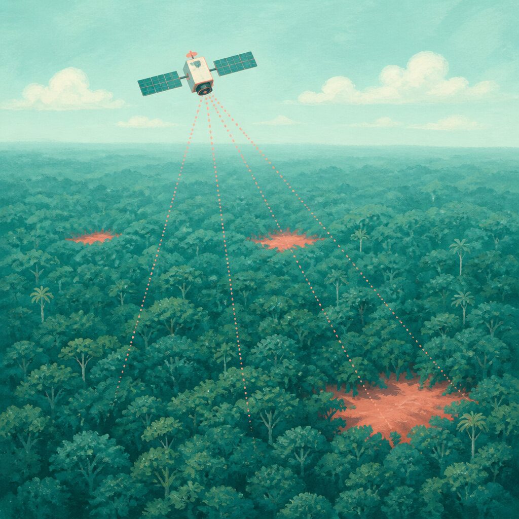
INPE’s DETER system detected 2,874 square kilometers of Brazilian Amazon deforestation, equivalent to 1,110 square miles. That is a large area, but it is also the lowest figure reported in 13 years. The comparison shows how much deforestation has declined from recent historical levels. The key point is the trend, not that forest loss has stopped. DETER uses satellite alerts to identify likely cleared areas. Researchers and officials use these alerts to track activity and guide enforcement. The article reports that the decline began after Luiz Inácio Lula da Silva returned to office in 2023. The figure indicates meaningful progress, but thousands of square kilometers still matter for wildlife, Indigenous communities, rainfall, and climate. It also requires careful interpretation because satellite-alert systems and official annual monitoring products can measure different things. Continued enforcement and protection will determine whether this low level lasts.
Based on reporting by Human Progress
How much Brazilian Amazon deforestation did INPE detect, and why is 2,874 square kilometers considered the lowest level in 13 years?
INPE’s DETER system detected 2,874 square kilometers of Brazilian Amazon deforestation, equivalent to 1,110 square miles. That is a large area, but it is also the lowest figure reported in 13 years. The comparison shows how much deforestation has declined from recent historical levels.
The key point is the trend, not that forest loss has stopped. DETER uses satellite alerts to identify likely cleared areas. Researchers and officials use these alerts to track activity and guide enforcement. The article reports that the decline began after Luiz Inácio Lula da Silva returned to office in 2023.
The figure indicates meaningful progress, but thousands of square kilometers still matter for wildlife, Indigenous communities, rainfall, and climate. It also requires careful interpretation because satellite-alert systems and official annual monitoring products can measure different things. Continued enforcement and protection will determine whether this low level lasts.
What does “deforestation” mean, and how is it different from temporary forest damage or degradation?
Deforestation is the lasting removal of a forest over an area. The land is converted to another use, often cattle pasture, farming, roads, mining, or buildings. This matters because the forest’s plants, animals, soil, and ecological functions are disrupted together.
Temporary damage or degradation is different. A fire, drought, storm, or selective logging can injure trees and reduce forest quality without completely clearing the land. A degraded forest may still retain some canopy and could recover if pressure stops. Repeated damage, however, can eventually lead to permanent clearing.
The article reports INPE’s deforestation detection, but its short excerpt does not define the measurement in detail. In practice, satellite systems distinguish cleared land from forest disturbance using changes in visible forest cover. The distinction matters because permanent deforestation usually causes more lasting habitat loss and carbon release than a temporary disturbance.
How does INPE’s DETER satellite-alert system detect areas where Amazon forest may be disappearing?
INPE’s DETER system uses frequent satellite images to look for visible changes in Amazon forest cover. When imagery shows a new clearing or major disturbance, the system creates an alert. This gives authorities a rapid picture of where forest loss may be happening.
The mechanism is comparison. New images are checked against earlier images, and computers identify changes in canopy, exposed soil, roads, or burn scars. Analysts can then examine the alert and, when needed, investigate it on the ground. DETER is designed mainly for timely warnings, rather than serving as the only final accounting system.
That speed makes DETER useful for enforcement. Officials can prioritize inspections, embargo illegal areas, and respond while activity is still underway. The article says DETER detected 2,874 square kilometers, but the excerpt does not explain the exact monitoring period or classification details. Alerts should therefore be interpreted as satellite-based evidence of likely forest loss.
What changes in Brazilian government policy and enforcement helped deforestation decline after Luiz Inácio Lula da Silva returned to office in 2023?
Brazil’s decline followed a renewed government focus on stopping illegal clearing. The article connects the change with Luiz Inácio Lula da Silva’s return to office in 2023. The main policy idea is straightforward: make forest laws more credible by restoring monitoring, inspections, penalties, and protection for public forests.
In practice, Brazil has relied on satellite alerts, environmental agencies such as Ibama and ICMBio, fines, embargoes, seizures, and operations against illegal logging and land grabbing. The government also revived broader anti-deforestation planning and emphasized protected areas and Indigenous territories. These measures raise the cost and risk of clearing.
The reported 2,874-square-kilometer result suggests that enforcement and policy changes helped. However, the article excerpt does not identify which individual measures produced the decline or prove that one policy caused it. Future results will depend on sustained budgets, enforcement, legal accountability, and protection from organized land grabbing.
How does the current deforestation level compare with the unusually high levels recorded in earlier years of the 21st century?
Earlier in the 21st century, Amazon deforestation reached much higher levels than the 2,874 square kilometers reported here. For example, Brazil’s official PRODES system recorded roughly 27,800 square kilometers of annual forest loss in 2004. The current figure is therefore dramatically smaller than that major historical peak.
The comparison needs care. DETER is a rapid alert system, while PRODES is Brazil’s primary annual forest-loss measurement. They use different methods, timing, and purposes. DETER helps identify likely clearing quickly; PRODES provides a more formal yearly estimate. A DETER number should not be treated as perfectly equivalent to a PRODES number.
Even with that limitation, the article’s central message is clear: the latest reported level is the lowest in 13 years. It represents progress from the unusually high levels seen in earlier decades. Still, forest loss continues, so maintaining low rates requires persistent monitoring, enforcement, and protection.
What happens to the Amazon’s wildlife, Indigenous communities, rainfall patterns, and climate when deforestation occurs?
When forest is cleared, wildlife loses food, shelter, breeding sites, and movement routes. Fragmented habitats can isolate populations and reduce biodiversity. Indigenous communities may lose hunting grounds, plants, water sources, cultural sites, and secure control over traditional territories. Clearing can also increase conflict and pollution.
The Amazon helps recycle water. Trees release moisture through transpiration, and that moisture contributes to clouds and rainfall locally and downwind. Large-scale clearing can reduce this recycling, increase heat, and lengthen dry seasons. Roads and fires can amplify the damage by opening more forest to settlement and repeated burning.
Deforestation also releases carbon stored in vegetation and soils. Fewer trees remain to absorb future carbon dioxide. These effects reinforce one another: hotter, drier conditions make fires more likely, while fires further degrade forests. The article reports falling loss, but continued clearing still threatens regional ecosystems and communities.
Why does the Amazon rainforest matter to the global carbon cycle, and how can cutting or preserving trees affect climate change?
The global carbon cycle moves carbon among the atmosphere, plants, soils, oceans, and rocks. Amazon trees remove carbon dioxide from the air through photosynthesis and store carbon in wood, roots, leaves, and soil. Because the rainforest is enormous, its condition affects the global balance between carbon entering and leaving the atmosphere.
When trees are cut or burned, much of their stored carbon returns to the atmosphere as carbon dioxide. The cleared land also loses some capacity to absorb future emissions. Preserving forests protects existing carbon stocks and allows living trees to continue taking in carbon as they grow. Healthy forests therefore slow the buildup of greenhouse gases.
The Amazon is not an unlimited carbon sink. Drought, heat, fire, and degradation can reduce its ability to absorb carbon. The article’s record-low deforestation figure is encouraging, but protecting the remaining forest matters too. Lower clearing rates can help climate efforts, especially when combined with broader emissions cuts.
Key Facts:
📌 INPE detected 2,874 square kilometers of Amazon deforestation.
📌 That equals about 1,110 square miles.
📌 The figure is the lowest reported level in 13 years.
📌 Deforestation permanently removes forest and changes the land’s use.
📌 Degradation damages forests without necessarily clearing them completely.
📌 Repeated degradation can eventually become permanent deforestation.
📌 DETER compares satellite images to identify new forest-cover changes.