News · Science & Technology
AI Extends Lead Time for Global Tropical Cyclone Forecasts
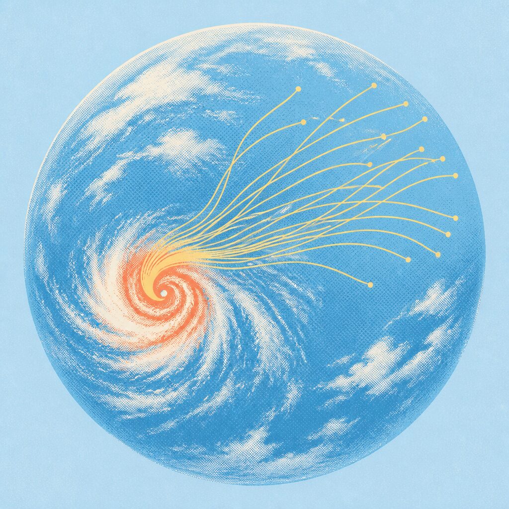
WeatherNext Cyclones, or WN-C, is an operational artificial-intelligence weather model. It focuses on tropical cyclones around the world. Its purpose is to improve forecasts for storms that can cause severe damage and large financial losses. The model produces predictions rather than simply describing current weather. WN-C forecasts three major storm features: track, intensity, and size. It uses global analysis data and a global tropical-cyclone database during training. In practice, that means the AI learns from broad atmospheric information and many past cyclone examples. It then estimates how a developing storm may change and move. The article describes WN-C as producing state-of-the-art ensemble forecasts. This matters because forecasters need both a likely outcome and a sense of uncertainty. As an operational model, WN-C is intended for real forecasting work, not only research. Its worldwide coverage could support earlier, more informed decisions across many cyclone-prone regions.
Based on reporting by Human Progress
What is WeatherNext Cyclones (WN-C), and what does it produce?
WeatherNext Cyclones, or WN-C, is an operational artificial-intelligence weather model. It focuses on tropical cyclones around the world. Its purpose is to improve forecasts for storms that can cause severe damage and large financial losses. The model produces predictions rather than simply describing current weather.
WN-C forecasts three major storm features: track, intensity, and size. It uses global analysis data and a global tropical-cyclone database during training. In practice, that means the AI learns from broad atmospheric information and many past cyclone examples. It then estimates how a developing storm may change and move.
The article describes WN-C as producing state-of-the-art ensemble forecasts. This matters because forecasters need both a likely outcome and a sense of uncertainty. As an operational model, WN-C is intended for real forecasting work, not only research. Its worldwide coverage could support earlier, more informed decisions across many cyclone-prone regions.
What does it mean for WN-C to extend the lead time of tropical cyclone forecasts?
Forecast lead time is the interval between receiving a forecast and the event it describes. For WN-C, extending lead time means providing useful information about a tropical cyclone farther in advance. The goal is not merely to predict the storm eventually, but to give communities and officials more time to act.
For example, an earlier forecast could show that a cyclone may approach a populated coast several days later. Emergency managers could begin checking shelters, warning residents, and positioning supplies before the storm becomes an immediate threat. The model’s ensemble approach can show several plausible paths, helping people plan around uncertainty rather than relying on one exact line.
The article’s title highlights longer lead time, but the supplied text gives no specific number of extra hours or days. It does identify WN-C as a state-of-the-art operational system. If its forecasts remain useful earlier, decisions can become less rushed and potentially safer.
How much warning time can tropical cyclone forecasts typically provide, and why can even a few extra hours or days matter?
As a general forecasting benchmark, official tropical-cyclone outlooks commonly extend to about five days ahead. Shorter-range forecasts are usually more reliable, while uncertainty increases farther into the future. The supplied article does not state a specific typical warning time or a precise improvement from WN-C, so these figures provide general context rather than an article-specific result.
A few extra hours can matter when roads, shelters, airports, and ports become crowded. An extra day or two can allow authorities to order evacuations, move emergency supplies, and secure hospitals or power infrastructure. Ships can change course sooner, reducing exposure to dangerous winds and waves. Coastal residents gain more time to protect homes and decide where to go.
WN-C’s importance is therefore tied to usable early information, not just forecast accuracy. Its ensemble predictions can help show possible outcomes ahead of landfall. Better advance guidance may support calmer, more organized responses, even though no forecast can remove uncertainty completely.
Which three characteristics does WN-C forecast—track, intensity, and size—and why is each important?
Track means the cyclone’s path. It helps identify which coastlines, islands, and communities may face the storm. Intensity means the strength of the cyclone, including how dangerous its winds and related hazards may become. Size describes how broadly the storm’s winds and impacts extend around its center.
Consider a storm forecast near a coastline. A small shift in track could change which city receives the strongest conditions. A rise in intensity could require stronger warnings and more urgent preparations. A large storm could affect areas far beyond the center, even if its track passes some distance offshore. Forecasting all three gives a fuller picture than predicting location alone.
The article specifically says WN-C produces ensemble forecasts for track, intensity, and size worldwide. That combination matters because hazards depend on both the storm’s center and its overall reach. Better information across these characteristics can help officials, ships, and residents match their response to the likely threat.
What is an ensemble forecast, and how does running many possible forecasts help show uncertainty?
An ensemble forecast is a collection of forecasts made for the same event. Each forecast uses slightly different conditions or model possibilities. Together, they show a range of likely outcomes rather than presenting one path as certain. This is especially useful for tropical cyclones, whose future can change as the atmosphere evolves.
For example, several ensemble members might place a cyclone on similar tracks, suggesting greater confidence. If their paths spread widely, the storm’s destination is less certain. The same idea applies to intensity and size. Forecasters can study the cluster, range, and unusual possibilities when deciding how strongly to warn people.
The article identifies WN-C as an AI model producing ensemble forecasts for tropical-cyclone track, intensity, and size. Running many possibilities does not eliminate uncertainty. Instead, it makes uncertainty visible and usable. That can support better decisions, especially when officials must prepare before the storm’s exact behavior is known.
What practical consequences could better and earlier forecasts have for evacuations, emergency services, ships, and coastal communities?
Better forecasts give decision-makers clearer information before dangerous weather arrives. Earlier guidance could help officials choose evacuation areas, open shelters, and communicate warnings with less last-minute confusion. Coastal communities could protect homes, move vehicles, and check on vulnerable residents. The benefits depend on forecasts being accurate and understandable.
Emergency services could pre-position rescue teams, food, fuel, medical supplies, and communications equipment. Ships could alter routes or seek safer harbor before conditions worsen. Ports and coastal industries could secure equipment and pause operations. Forecasts of size matter here because hazardous winds may cover a much wider area than the storm’s center suggests.
The article presents WN-C as an operational worldwide model with ensemble forecasts. That means its potential value reaches beyond one location or one type of user. Earlier information cannot prevent a cyclone, and it cannot remove uncertainty. But it may improve timing, coordination, and the ability to match protective action to the storm’s possible reach.
Why are tropical cyclones difficult to forecast, and how do global analysis data help an AI model predict their future behavior?
Tropical cyclones are difficult to forecast because several changing processes influence them at once. Their track depends on surrounding atmospheric flows. Their intensity and size depend on ocean and atmospheric conditions. Small errors in the starting picture can grow into larger differences later. The article calls forecasting them a profound scientific challenge.
Global analysis data help describe the atmosphere and ocean-related environment around a storm at a given time. Combined with a global cyclone database, these data give an AI model information from current conditions and past storms. WN-C can use learned relationships to estimate how a cyclone may move, strengthen, weaken, or expand. The source states that the model was trained on global analysis data and a global database, though it does not detail the exact variables.
This approach supports worldwide forecasting rather than focusing on one basin. WN-C’s ensemble output can also represent several possible futures. AI does not make cyclone behavior perfectly predictable, but broad training data and probabilistic forecasts may improve useful guidance and extend warning time.
Key Facts:
📌 WN-C is an operational AI model for worldwide tropical cyclone forecasting.
📌 It forecasts cyclone track, intensity, and size.
📌 The model produces state-of-the-art ensemble forecasts.
📌 Lead time is the gap between a forecast and the expected storm event.
📌 More lead time allows earlier preparation and response.
📌 The supplied article does not quantify WN-C’s improvement.
📌 General official forecasts often extend about five days ahead.